I have to say that despite the Barrington Tops reputation the National Parks in the New England and Hastings area are much more picturesque.
Werrikimbe National Park Details
We departed from Walcha having travelled from Gloucester on Thunderbolts Way. Quite a nice drive in its own right to be honest.
Following the Oxley Highway South East toward Wauchope our first stop was Apsley Gorge.
Apsley Gorge Details
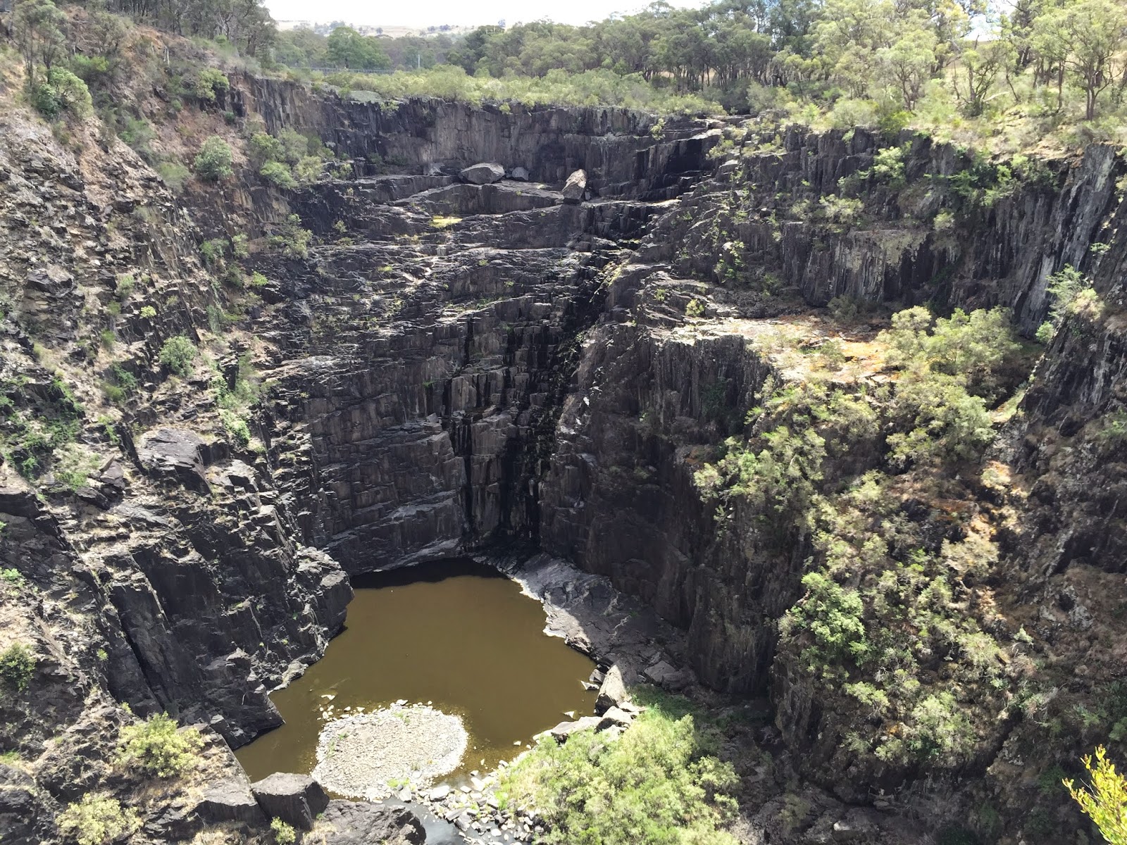
I had never been here before. It really needs to be seen to get an idea of the sheer scale and size of this stunning landscape.
From the carpark look out.

The base of the gorge.

We hiked around the gorge. Only a few kilometres there and back.
The suspension bridge at the start of the hike.


We decided to keep following the gorge around for another two kilometres after the track finished. Worth the extra walk for some of the views back up the gorge.


After Apsley Gorge we made the quick trip to Tia Falls and the short hike to the falls lookout. Unfortunately we were getting short on time otherwise we would have done the hiking circuit here.


Onto Werrikimbe. Access was off the Oxley Highway onto Kangaroo Flat Road. A quick detour to the locked gates at Youdales Hut as we are heading up there next trip then off to search for a campsite. At some point Kangaroo Flat Road became Racecourse Trail.
Onto Coachwood Road and we finally found a nice spot just as the sun was setting near Hoppys Lookout. Campsite was 1306m above sea level. The altitude saw the temperature drop to 6C overnight. Great camping weather for near summer.
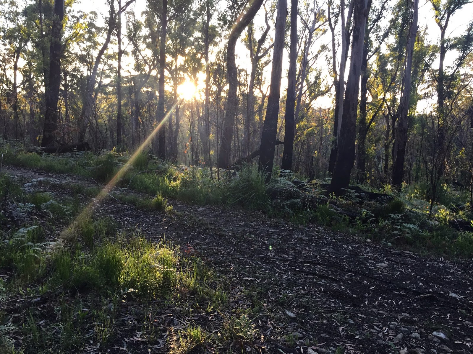
View from the tent.
Refreshments.

Early next morning we hiked to Hoppys Lookout. A beautiful spot.
Shell and the view North West.

North West again with an image that appears to be a shameless promotion of our hiking shoes.

North to the Oxley Rivers National Park and beyond.

More exploring through the day. We continued along Racecourse Trail where we crossed the Forbes River at this pretty spot.

Racecourse Trail became the Hastings Forest Highway (Highway?). Which was eventually closed off so we headed onto Cockerawombeeba Trail. Which became the Forbes-Cockerawombee Rd.
Finally onto Forbes River Road which dropped us back out on the Oxley Highway.
A fun trip and a National Park that needs more exploring soon.
No comments:
Post a Comment