Showing posts with label National Park. Show all posts

Monday, 23 February 2015

Carlon Head & Breakfast Creek Walk - Blue Mountains National Park

Carlon Head and Breakfast Creek Walk

 Blue Mountains National Park

Megalong Valley NSW


Thank you to John & Lyn Daly and their book Take a Walk in the Blue Mountains.

Saturday, 21 February.

It had been a month since we last headed out. We both had itchy feet.

With the weather cooling this week we decided on the Blue Mountains. Shell had read about the Carlon Head, Narrow Neck, Medlow Gap circuit. 

She had real concerns over my difficulty with heights as the planned circuit included several chain assisted climbs. One of which was particularly exposed.

I assured her all would be well and we set out with a spring in our step and a lazy 20km over two days ahead of us.

The trail head is accessed via Dunphys Camp Ground.

Heading south on the M1 it is simply a matter of following the signs to Katoomba and on to Blackheath.

Arriving at Blackheath turn left into Bundarra Street. Cross the rail line and take your immediate left into Station Street.

Turn right onto Shipley Road and finally left onto Megalong Road.

The first part of Megalong Road is a particularly scenic drive.

After several gates the road simply ends at the car park for Dunphys Camp Ground.

We arrived at Dunphys just after 1.00pm.

I will admit to apprehension amongst my excitement as we prepared to start.

There was climbing ahead. Climbing I have no problem with. Heights cause me no small amount of fear. Today I planned on facing that fear.

We took the trail up the hill, climbed the fence and started along the Bellbird Ridge Fire Trail.


Over the fence and ready to start.


The steep start.

The fire trail heads up steeply before it levels out to a relatively straight forward trail.

It was a pleasant walk through open woodlands. Eucalypts and the occasional Banksia.

The day was not hot however the humidity was stifling.

A fog had set in and drenched everything. So thick it was difficult to tell when it rained or whether the fog simply coalesced.

Gear, clothes and hikers were quickly soaked.

Regardless, it was exciting to be on foot with packs shouldered. A great day for hiking and great company to share it with.


Bellbird Ridge Fire Trail

Eventually the trail reaches a T intersection. Our information suggested we turn right toward Medlow Gap for a short period of time before we reach a footpad on the left leading up to the north east.

Despite several passes of the area we are unable to find the trail.

We decided to explore the power line access road which headed immediately off to the left of the Medlow Gap trail.

Soon after we found a sign next to the footpad. This rather foreboding sign marked the start of the trail which would take us to Carlon Head.


T Junction.


The trail to Carlon Head.

There is no trail to Carlon Head.

In the distance at the top of the ridge line through thick fog you occasionally get glimpses of the escarpment.

We made our way up by simply zig zagging the incline.

Hard work made all the more difficult by the thick leaf litter. Quick to slide out from underfoot and slippery due to rain.

Nevertheless a challenging hill is a rewarding climb when complete.

After a brief stop half way up it was quite satisfying to reach the escarpment.


Starting our way up.


Respite.


Respite with a view shrouded in fog.


Continue up.


The first climb.

On reaching the ridge line we simply followed it north east until we came to the fist set of chains.

I was somewhat daunted by the prospect of the climb.

Eventually I simply grabbed the chain and hauled myself up with no thought of style. Pack and all.


The first climb.


So far so good.


Top.

I was elated when I made it to the top.

Soon the adrenalin wore off.

My hands were shaking and a long beaten stutter from my childhood returned as Shell enquired at my well being.

I quickly hauled her bag up before she made quick and easy work of the first climb.

With words of encouragement from Shell we continued north east.

The second climb was relatively easy. More of a scramble than climbing.

From the bottom I could look up and see the last most difficult climb.

My nerves were fraying.

At the top of the second climb I found myself on an exposed ridge and panic started to set in.

With nothing either side of me other than sheer drops I scurried to the base of the next climb and curled into a ball and everything unravelled.


Short exposed ridge line to the third climb.

I spent a few minutes at the base of the climb. My composure gone and Shell calming me down.

Self loathing set in.

I caught glimpses of Shell eyeing off the exposed climb. I knew she could do it with little effort. I knew she wouldn't because I could not.

I do not understand the psychology. What makes one fear these things. I felt ashamed I could not make this last climb.

I felt weak. A coward.


Views from the base of the last climb.

Finally after much coaxing and kind words by this most amazing woman I pulled myself together and prepared for the climb down.

Our plans would need changing apparently.

I was utterly disgusted with myself.


The final climb. Courtesy of Tom Brennan - (c) http://ozultimate.com/

With some composure restored we climbed back down the way we had just came.

For some reason abseiling down was effortless.


The climb back down.


This fellow greeted us at the base.

We scrambled our way back to the access road.

A slippery task. Had I not been caught up in my own melancholy it may have been quite enjoyable.

By the time we reached the bottom Shell was done with sympathy for my situation and decided a kick in the pants was required.

As is always the case she managed to brighten my mood with a sharp tongue and an expletive ladened lecture on male ego and pride.

She knows me better than I know myself.

Back at the T intersection we decided on heading down to Breakfast Creek to the camp site we intended on staying had we crossed Narrow Neck.

This is an easy walk and Shell set a cracking pace.

The fog thickened and seemed to become rain. It may have simply rained. It was hard to tell.
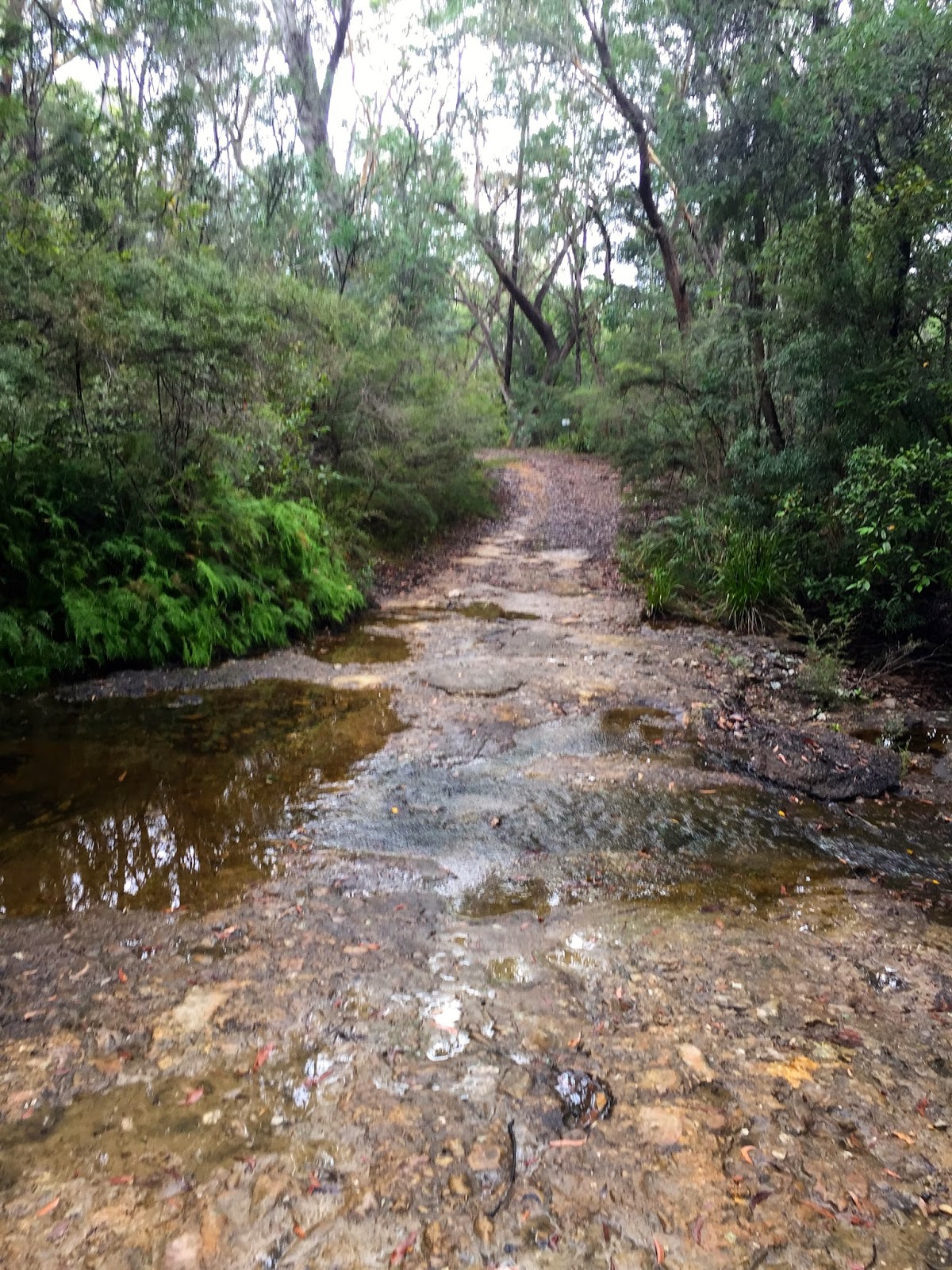


Breakfast Creek.

The campground proved uninspiring.

The rain looked settled in.

Perhaps it was my mood or possibly the weather. Probably both.

Eventually we decided to head back up the trail and detour to Bellbird Point and head for the car.

Our weekend hike was now to be a day trip.

I was not disappointed in the decision.


Narrow neck from the trail.


The trail to Bellbird Point.

Bellbird Trail is an easy walk that finally opens to expansive views.

Mt Mouin and Medlow Gap to the south east.

It was a lovely end to the walk. Sitting on the cliff edge chatting with Shell. Sharing this view with the woman I love forced out the lingering disappointment of Carlon Head.

As we headed back to the car we began to discuss where we might head next.

It had been a long afternoon. We had covered just over 20km and I was looking forward to a shower and some food.


The view from Bellbird Trail.


My girl.

Probably not the best hike we have done.

With so much to explore in this area we will definitely return.

I am not sure I will ever tackle Carlon Head.

When we returned to Dunphys a group was setting up camp.

When they enquired as to whether we had attempted Carlon Head I was forced to admit my failure.

It did not seem to matter so much.

The group were experienced climbers who were heading to Grand Canyon the next day for some canyoning.

When one of their number admitted that Carlon Head was a very exposed face and he understood my difficulty I felt a bit buoyed. Whether he said it to make me feel better or he meant I am unsure.
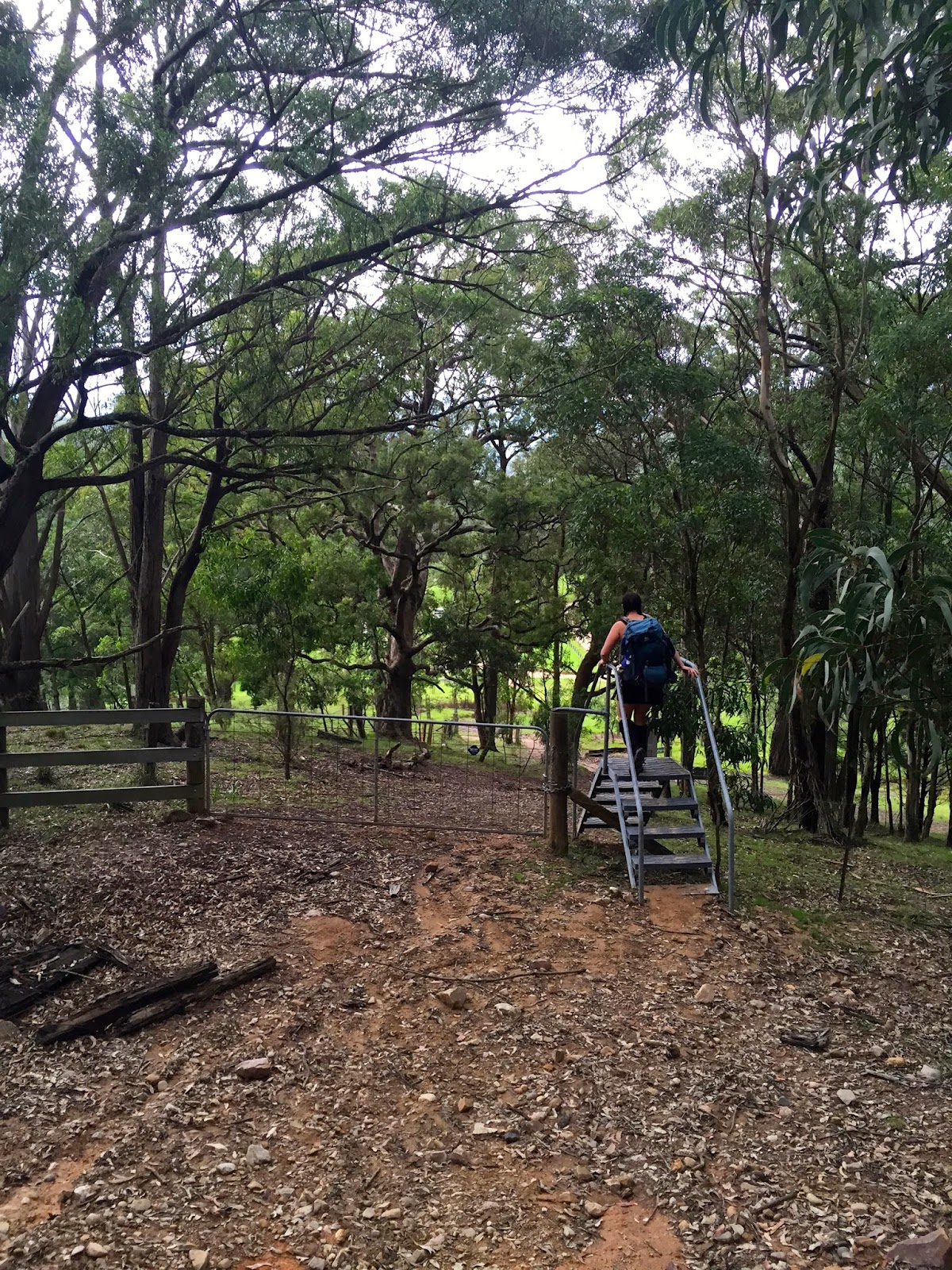


Heading home.

As we make our way down to Katoomba and on to Leura for dinner  I am happy about two things.

The first is our Anytime Fitness membership. The idea of a hot shower in the nearest town is decadent.

The second is that we are both comfortable with the decision to walk out and not camp overnight.

The rain is now heavy and consistent. Some would consider it a lack of commitment to alter plans simply because wet weather sets in.

There have been occasions, and will be plenty to come, when hiking out is not a choice. I relish these challenges for the most part. 

Hiking for us is about enjoyment and sharing time together. 

If given the choice between camping in uncomfortable conditions and simply hiking out I will often take the later.

Some might call it soft. So be it.


Tuesday, 27 January 2015

Dubbo Gully & Ten Mile Hollow Circuit - Dharug National Park

Dubbo Gully & Ten Mile Hollow Circuit

Dharug National Park

Central Coast NSW

Thank you to the Wild Walks team.

Sunday, 25th January.

"Just a thought"

When Shell makes this statement any plans for the near future are about to be overturned.

Of these things I was certain. We would be hiking that day and sleeping in the tent that evening.

I had my concerns.

While the forecast was for fine weather the temperature was set to hit the mid to high thirties.

And we had just left the gym after a heavy leg session.

Shell went on to describe an interesting circuit on the Central Coast. A lazy 26km over two days.

She went on to explain the trip would include Clares Bridge and detailed its history.

I was intrigued.

"Print me the details when we get home and I will have a look" I suggested.

"Oh. I already printed them last night"

Just a thought?

We set out later that afternoon intending to miss the hottest part of the day.

Heading south on the M1 from Newcastle we take the Peats Ridge exit.

Continuing for about 8km taking the Wisemans Ferry exit. 

At the Upper Mangrove shops we turnned right onto Waratah Road and finally left onto Dubbo Gully Road.

We left the car just a few hundred meters down the road before it comes to a locked gate and the trail head.


Cheeky at the trail head.


A week since we were last on foot both of us were excited to be back on the trail despite the heat.

The trail is a maintenance road and winds down from the locked gate and eventually arrives at an old wooden bridge that crosses Mangrove Creek.

A steep pretty incline on your left with an occasional overhang. The land drops away to your right.

It was nice to be back in familiar bush after our trip away. Semi tropical flora.


The prettiest of the overhangs on the way to the bridge.


After the bridge the trail levels out.

Most of the time I enjoy hiking to get away from civilisation. The hectic pace of working in a city. The claustrophobia of neighbours in suburbia.

The exception is the occasional trace of human inhabitance on a trail like this.

A row of citrus trees had appeared on the right of the trail. Lemons, limes and oranges. I wondered about who planted them and why that might have deserted such a pretty spot.

Mangrove Creek running clear next to the area. It seemed a place one would not wish to leave.

We ate some not ripe lemons from the trees. Sour and refreshing on a hot day.


Mangrove Creek.

It is an easy walk and we chat about unimportant topics until we arrive at an old cemetery.

I love these places, but not nearly as much as Shell.

We take the time to read each headstone and wonder at what happened to the people buried here. Those that died young and those that lived to old age.

People from another era who were once part of the now extinct Upper Mangrove community.

Apparently there are remains an old church nearby which was destroyed in the 2002 bushfires. After a quick scout I could find no trace of St Thomas.


We continue our hike. There is much discussion on the graves and those buried there.

We pass Donnys Track, which will be our exit point tomorrow.

The Mangrove Creek forms swamps in places and we pass one to our left. The air is dense and humid in these areas. I became drenched in sweat. I looked over at Shell. She seemed effected not at all by the heat and humidity.


The conversation had turned to Fairview Homestead. The deserted house not far ahead.

The trail, now Ten Mile Creek Road, veers to the left after the swamp. A locked gate heading straight is the driveway leading up to the house.

As we walk up the steep hill Shell comments that it would be a difficult task getting the bins in and out. I laugh, and shake my head. I love the way she thinks.

"Fairview is a property with a homestead, built in 1922 by Alfred Andrews. The homestead and adjoining slab hut are now fenced. The homestead was once a popular rest area for people travelling the North Road, via the Simpson Track. The home was privately owned until 1973 when Gosford City Council acquired the land to protect the catchment area. The home was rented until 2002, when the tenants moved due to the threat of bushfires. The building is now in poor condition." - Wild Walks website.


We somehow found ourselves on the wrong side of the fence.


There is a push for restoration of this old house. I prefer its dilapidated condition. A shame it cannot be opened to the public to visit, whether it be for safety reasons or fear of vandalism.

It was fascinating to explore.

No sooner had we started back on the trail when we startled our first snake off the trail. With the weather so hot the black snake moved lightning fast into the nearby scrub at out approach.

I explained to Shell that the combination of hot weather, creeks and swamps there would be plenty of snakes around.

She seemed unimpressed by the comment and it did little to return colour to her face.

She marched forward, taking point regardless of the new information.

With the creek by our left side we continued along the valley floor. The landscape quite tropical.

A long row of poplars are another indication of a previous community.

Along the poplars we encounter our second black snake. Shell presses on. Determined. 


Poplars line the trail.


This odd fungi stood all alone in a small clearing.

Jumping the occasional creek we came to the clearing and the intersection of Simpsons Trail which we would be taking. Veering West it will take us to Ten Mile Hollow campsite.


The intersection is marked by a plaque which provides some historical information on the area. There is also a log book should you wish to state your intentions.

The trail, now in Dharug National Park, heads up and the landscape becomes more arid. The flora changes. A refreshing change.


It is not a challenging climb and enjoyable.

About halfway up the familiar pain in my kidney presents itself as mild dehydration starts has set in.

Despite my efforts to remain hydrated, the hot and humid climate has me sweating fluids faster than I can replace them.

A result of a previous severe dehydration my kidneys have never truly recovered. I express my situation to Shell.

Her concern manifests itself as angry worry. Whether she is angry at me or the offending kidney I am not sure.

Along Simpsons trail is Simpsons Cave. Sandstone overhangs that protrude from the steep incline to our left.

They are quite interesting. My poor photographic skills do them little justice.

Soon after another snake. This time a green tree snake.

Finally Shell breaks and loudly declares 'these bushwalkers who have been walking twenty years without seeing a snake are walking in their backyard!'**

** Numerous expletives removed to maintain speakers dignity.


Soon after we arrive at the campsite. It is late afternoon.

A rather bland place but we have it to ourselves and sleeping under the stars, anywhere, is preferable to being inside.

The water tank is almost full. After filtering some water and rehydrating we shower.

I have a pang of guilt using this tank water for a shower. I imagine reaching here on a hot day and finding it empty after someone else has used the water to shower.

Regardless, I am hot, sweat covered and stink. The thought of sleeping through the hot night without a shower is enough to make me selfishly indulge.

We set the tent with the vestibules open to make the most of the small easterly breeze.


It is dark when we start to prepare dinner and I am famished.

Laksa from Strive Food in Tasmania.

No protein. It looks unappealing in its dehydrated packet.

It turns out to be delicious.

The heat has gone from the day and the tent is comfortable. We lay there draped over each other, I am glad we took this little adventure.

I fell asleep thinking about Clares bridge. Only the sandstone foundations remain. The clearing we slept in was a mustering point for the convicts who built it. No showers for those enduring penal servitude.

Monday, 26th January.

At 2.00am the wind comes up causing the rear vestibule to flap annoyingly.

Shell offers to remedy the situation but I take charge. She indulges my chauvinism.

At 3.00am it starts to rain.

Again I volunteer to remedy the situation.

I awake at dawn to rain. Though it is not heavy it promises to be wet walk. At least it will be cool.

It is Australia Day. I am happy to be walking in the bush.

We don't rush breakfast. Enjoying hot porridge while listening to the rain on the tent. Enjoying the cool temperature.

We break camp and are on the trail by 7.00am. I am eager to see Clares bridge.


Wet weather hikers.

We are now on the Old Great North Road. The trail that turns right out of the campsite.

After crossing a timber bridge we soon arrive at Clares bridge. The second oldest bridge in Australia.

It is a remarkable piece of engineering and craftsmanship given the era it was built and the tools used for construction. Worth the trip.

We spent a little time here. I tried to imagine the conditions under which it was built. The tools used to hew the stones. I am talentless with my hands. I admire the skills of these men.

I have always been amazed how the artist can take the minds vision and reproduce it so brilliantly on canvas or other media. The same feelings are stirred here. How remarkable to be able to take a thought and produce it in reality.

Once again, these images do not do this place justice.


The rain ceased as we reluctantly left the bridge. In its place a humidity that made me hope for rain.

The trail continues to meander its way to an intersection where we leave our trail for Donnys Track.

Like all the trails we  have walked today Donnys Track is a maintenance road open only to hikers and cyclists. It winds its way down a ridge line and affords some pretty views to the valley below. Most notable, a granite clearing named Donnys View.


Donnys View.


As Donnys Track winds down there are some sandstone walls on the right which are interesting.

We come across a locked gate which sees us leave the Dharug National Park.


It was a pleasant stroll to the end of Donnys Track.

We were now back on the familiar trail to the car. Having already travelled the track the previous day we made quick time toward the trail head.

The same overhang we encountered on the way in the day before was even more appealing as we left.


Another adventure concludes.

At the car as we were discussing lunch options I felt a pang of disappointment. Suburbia awaits. Work the following day.

As we took off wet clothes and threw our packs into the ute I was hoping for those words. 

'Just a thought'.